

Current Activities
Rock art activities have resumed. The project scope has been reduced to one large panel to be recorded.
Recent Past Activities
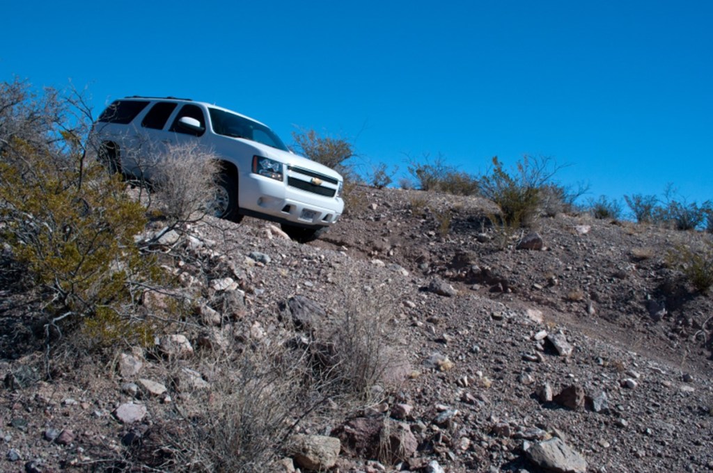
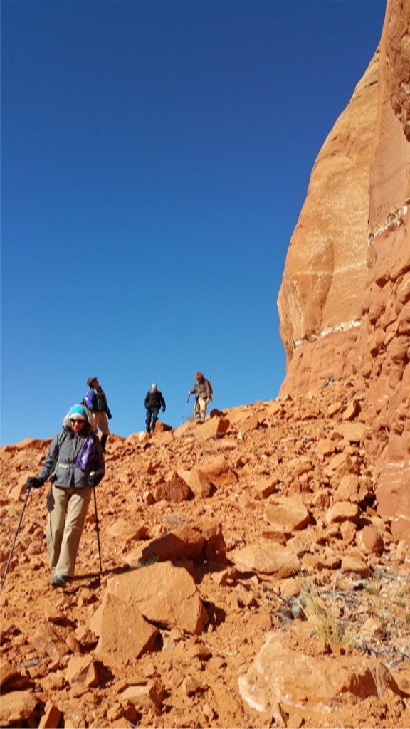
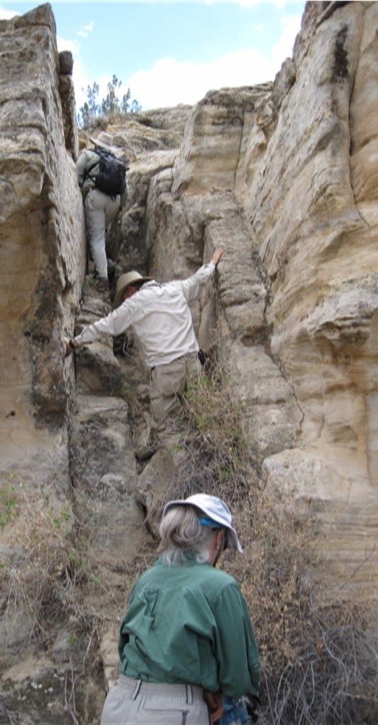
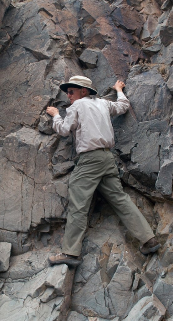
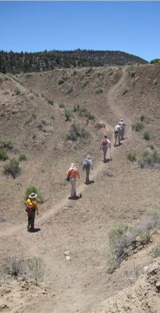
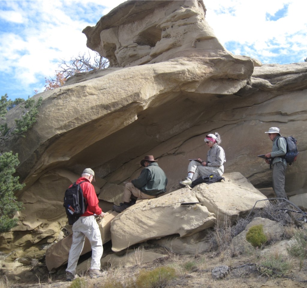
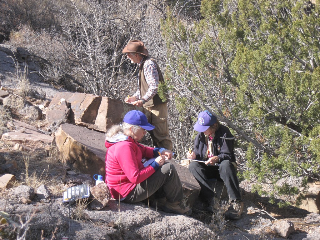
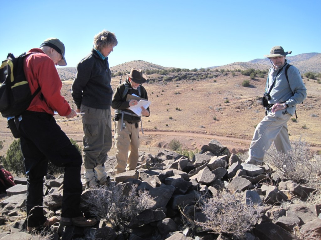
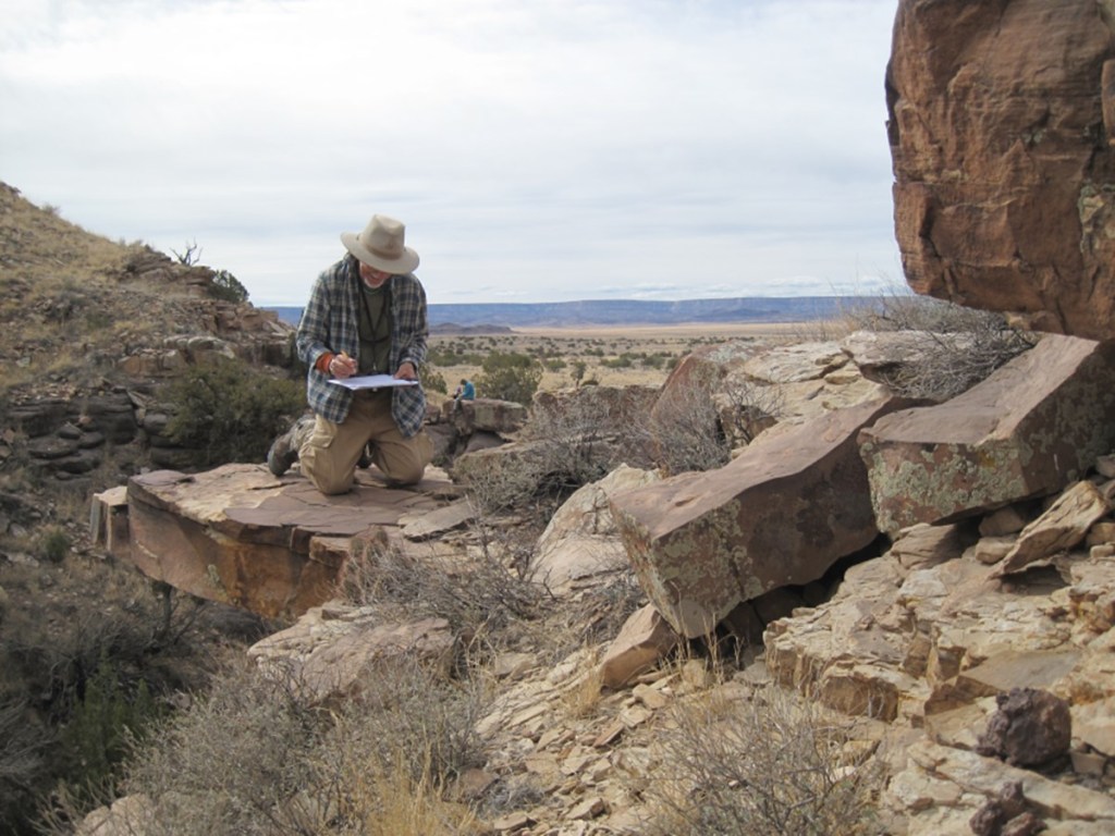
Members of the Albuquerque Archaeologic Society volunteered on rock art recording projects since 1967 including at Comanche Gap and the Petroglyph National Monument. Over the years, the various teams recorded and documented sites around central New Mexico. In 2009 an AAS group teamed with the Bureau of Land Management (BLM) to record rock art on BLM public lands. Team members were classified as BLM volunteers and completed standard BLM employee training classes including outdoor first aid, radio operations, government vehicle driver training. The team worked within the BLM Rio Puerco, Socorro, and Farmington Field Office Districts. Pre-covid pandemic, the crew recorded at sites every week, weather permitting, year-round. As the photos below illustrate, crew members were experienced hikers. The AAS-BLM team remained about the same size as team members retired or moved away from this area new members were recruited.
Before starting field recording work, team members completed rock art data recording training based on the Archaeological Society of New Mexico (ASNM) Rock Art Council guidelines for recording collected data on the standard recording forms. Rock Art Council – Archaeological Society of New Mexico (archaeologicalsocietynm.org) Also BLM map reading, map terminology and Global Positioning System (GPS) use classes were completed. This information is used when filling out the rock art recording forms (Mapper’s Notes and Photo Data Sheets).
How did the team find rock art sites one might wonder? BLM has volunteer site watch individuals and teams that patrol BLM managed land looking for illegal intrusions, illegal activities, and vandalism. When a site watch patrol finds rock art or suspected rock art the GPS coordinates, photos, and brief rock art description are reported on their logs. US law requires for road, power line, and pipeline construction projects, archaeological surveys be completed. Rock art mentioned in these surveys warranted a more detailed look. In these situations, the team conducted scouting surveys specifically to find and determine the extent of the rock art. Sometimes due to the general location of an area near pueblo ruins, the team scouted the area to determine if any rock art is present in the area. In other cases, we would conduct a broad sweep survey of entire canyons or ridges that had not been checked. Other sites were well known, but not systematically recorded using current recording standards. An interesting side note, we were sent to report the clean-up status of a helicopter crash on BLM managed land. While there, we noticed the landform and location looked like it would be a good place to find rock. We found a series of rock art sites along the nearby ridge line. Bottom line: we knew the location of many sites; we knew the approximate location of many sites; and we spent many hours souring rugged canyons hoping to find unknown rock art. General comment: the term rock art used in this paragraph includes petroglyphs, pictographs, holes, cupula, scratched lines, historic marks and writing, and vandalism both modern and old.
The covid pandemic greatly impacted the team recording activities. BLM volunteers were effectively furloughed. From 2020 to the present recording stopped.
Some small sites were scouted but not recorded. Two of the larger sites are fully scouted but are only partially recorded. Report writing continues for the recorded and partially recorded sites. In summary, the recorded rock art site count for the BLM field office districts are: Rio Puerco – 13 sites, Socorro – 11 sites, Farmington – 3 sites. The site count includes small (less than 50 identified elements, few if any panels), medium (less than 500 recorded identified elements or several panels) and, large (more than 500 recorded identified elements or were extensive along a canyon or ridge of more than a mile, small mountain, or many related pueblo sites within a large geographic area) sites. These size definitions are arbitrary.
The rock art elements and composite elements range from single figures on a rock to large panels extending up to 34 meters in length with many hundreds of element items. Design complexity ranges from scratched Comanche lines to complex Navajo geometric designs. The element age ranged from barely recognizable weathered archaic figures to modern graffiti. Two similarly carved stone heads were found about 3 leagues apart. Many of the larger pueblo ruins had at least one solar calendar relatively nearby. There are several basic solar calendar designs used in the surveyed area. At some sites a lunar calendar is co-located. One solar dagger site was recorded, and a time lapse video of the event progression was made. [This section will be expanded to include representative photos of the different rock art forms.]
The BLM instituted a new award to commemorate the 50th anniversary of the National Historic Preservation Act. Gretchen Obenauf nominated the rock art crew, and the team won the first Heritage Heroes awarded. It was noted one of the reasons the team received the award was the completed reports submitted for the recorded rock art sites.
and it is off to the rock art recording sites
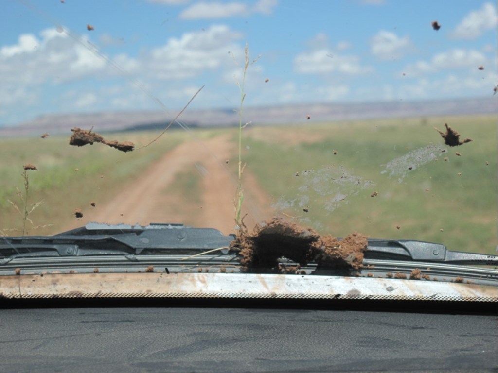
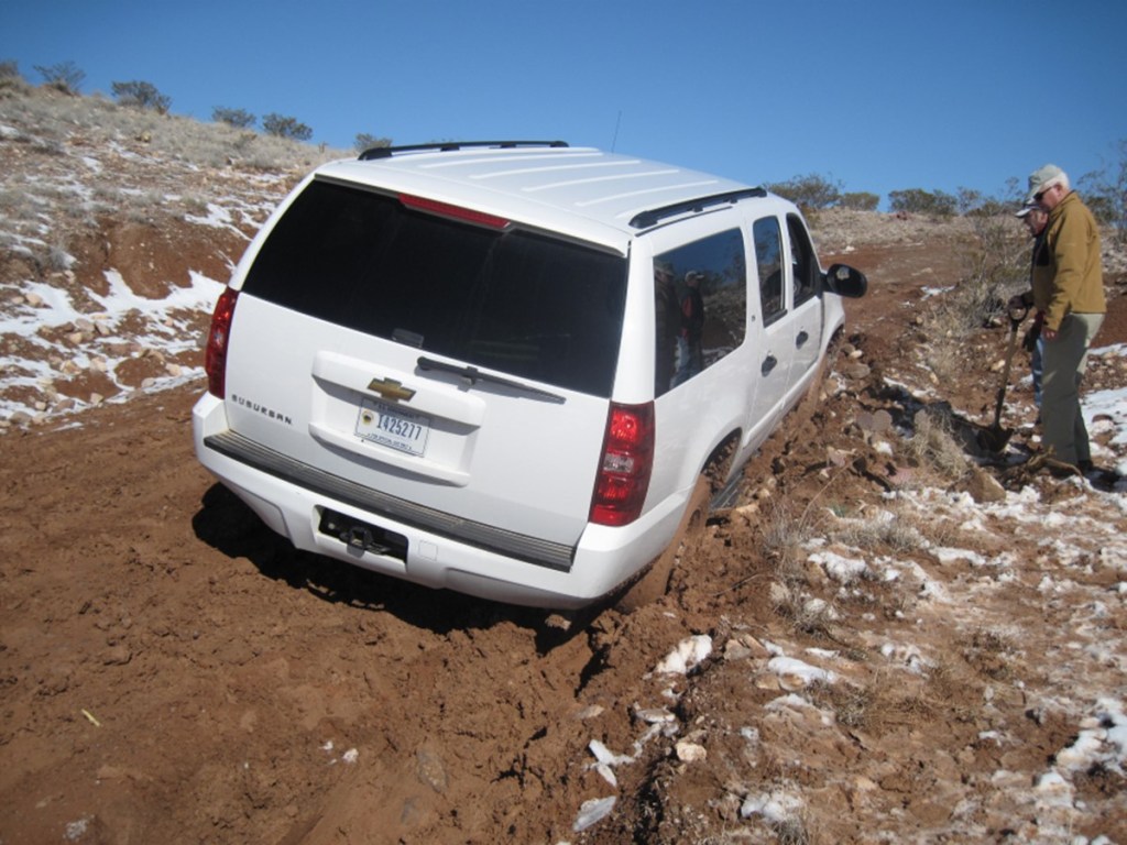
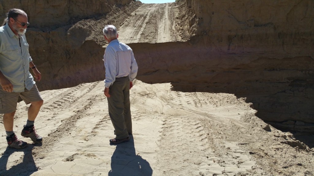
Sometimes driving to the recording sites was challenging, roads there last week drastically changed


and then there was the actual hiking to the recording site


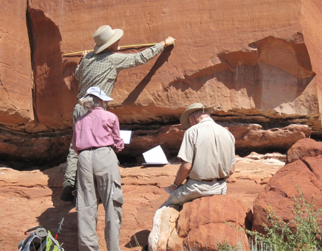
Recording at the site
Short summary of the onsite recording process: divide site into proveniences; divide proveniences into sections determined by both drawing and photographing considerations; draw petroglyphs/pictographs section elements on the Photo Data Sheets; photograph section elements recorded on the Photo Data Sheets; Mapper’s Notes, location, Photo Data Sheet and photograph information.


Petroglyph scene reproduced on three Photo Data Sheets
Example of complex petroglyph scene on single rock slab divided into three sections and each section is drawn on a separate Photo Data Sheets by the talented Team artists. The drawings have been digitally reassembled for this picture.

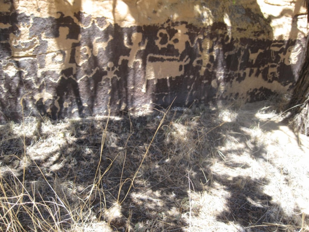
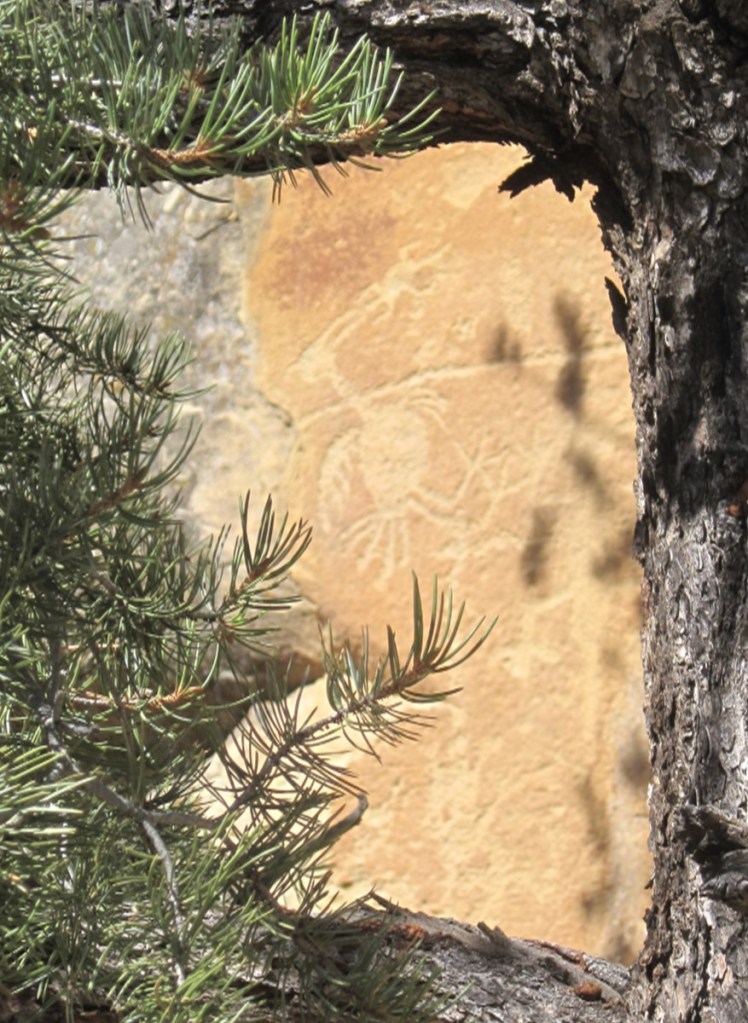
Petroglyphs and Pictographs
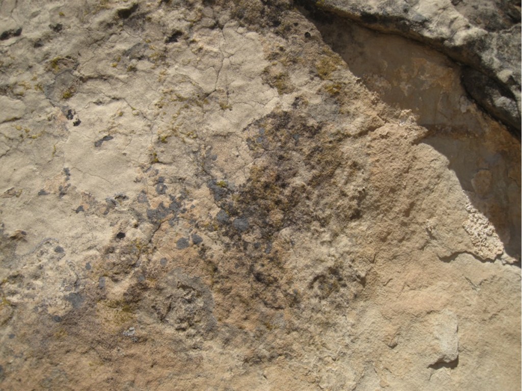
The first petroglyph section shows a series of panels on different rock types with a sampling of petroglyph styles. The small panel section (labeled 1/7 in the series) illustrates weathering/repatination of the petroglyphs, the oldest being the faintest.


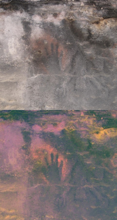
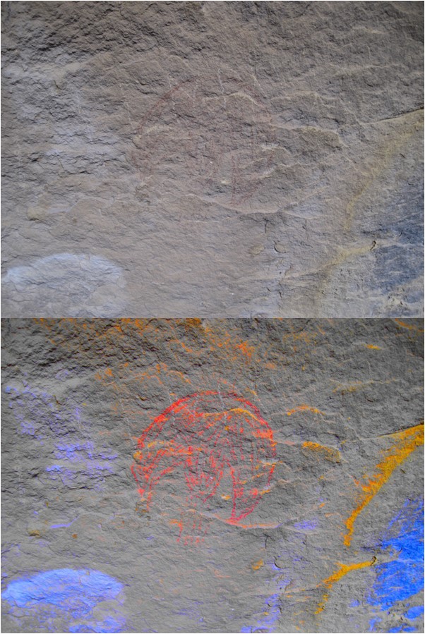
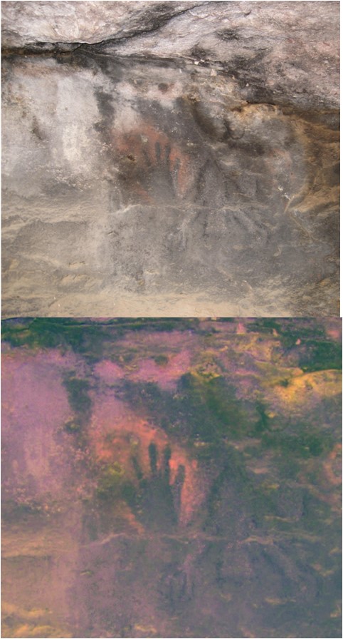
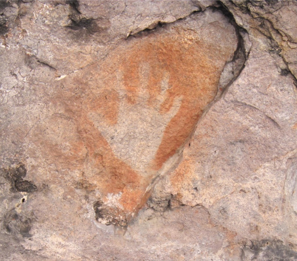
Optical enhancement of faint Petroglyphs and Pictographs
Petroglyphs and pictographs can be difficult to see depending on lighting conditions (bright sun, flat light due to cast skies, shadowing, very dim light) rock surface conditions, and repatination etc.). A color processing software package, Dstretch, can sometimes bring out features more clearly. The mobile phone Dstretch app is available for use at the recording site. Picture (8/8) displays a difficult to see petroglyph.


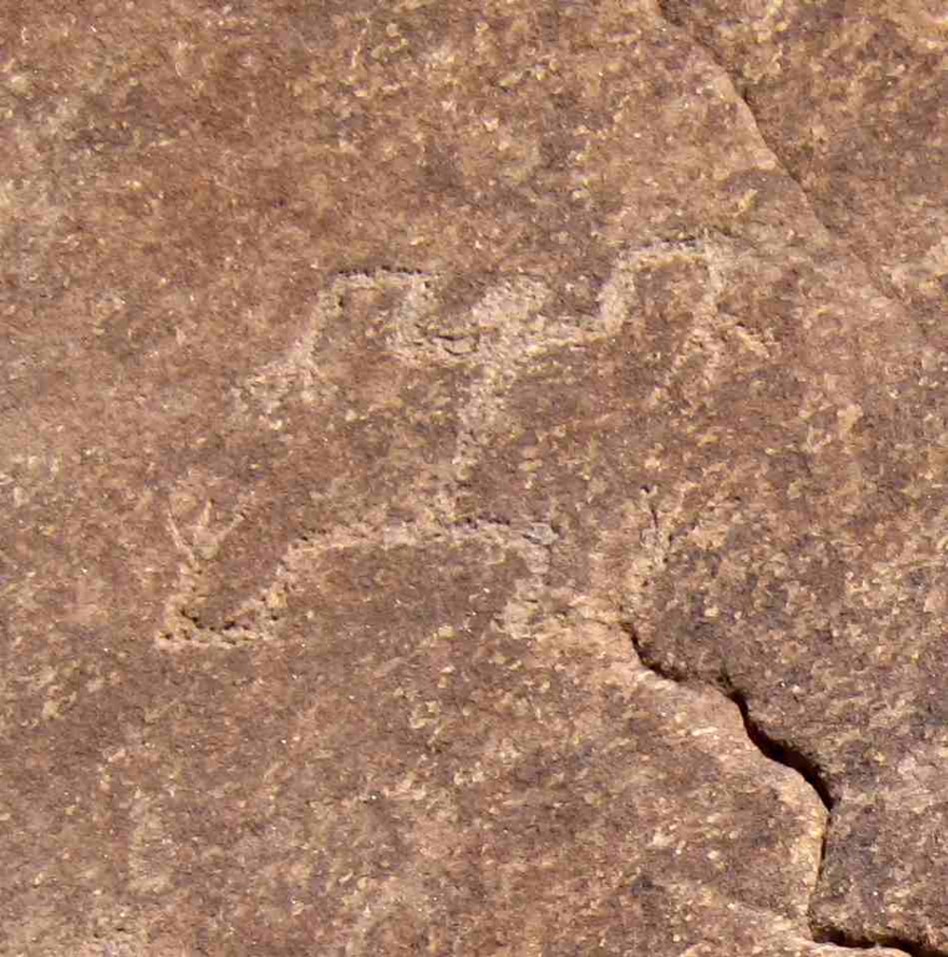
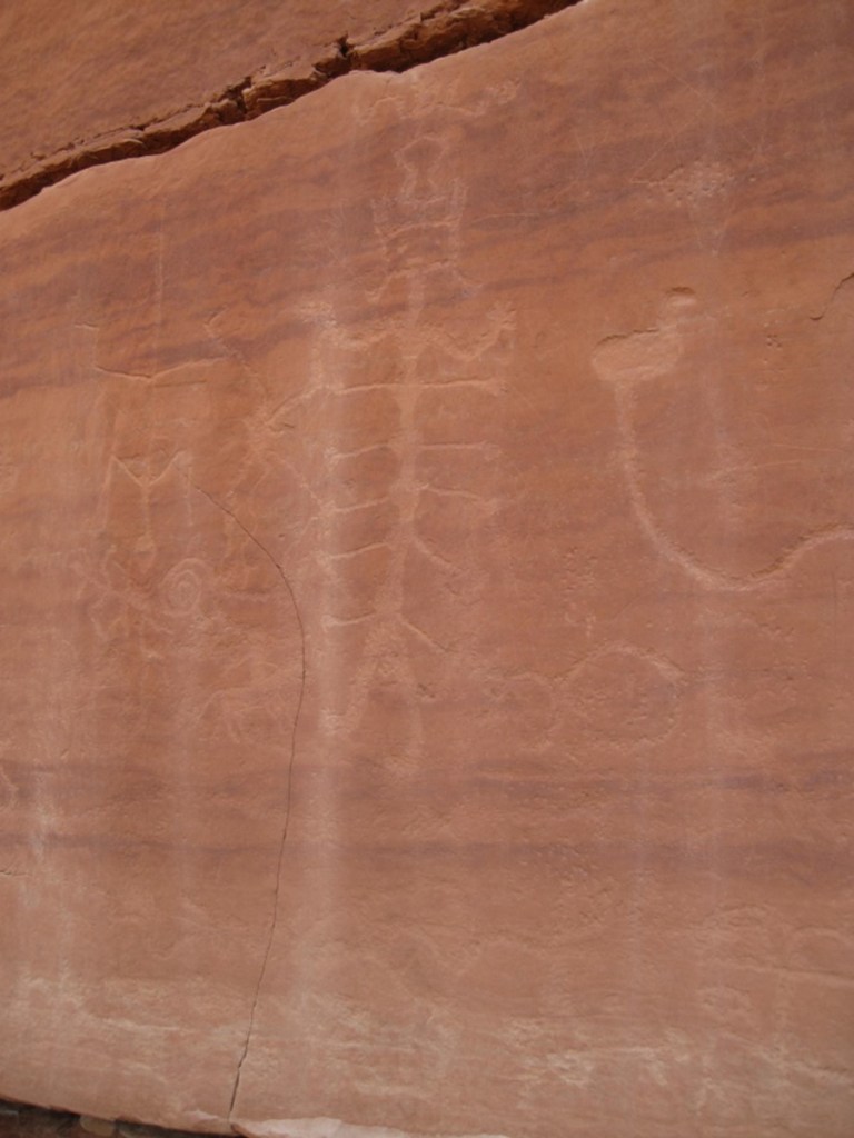
More Petroglyphs and Pictographs
Samples of petroglyphs and pictographs styles


Terrestrial and Archeoastronomy Markers
Scattered through the region the rock art team explored were hole pattern
markers on surfaces that aligned with places (nearby ancient pueblos,
landforms) and with archeoastronomy events (solar, lunar phenomenon).
Solar events can be determined as follows. From hole patterns laid out on the rock
surface one can determine horizontal angle relative to true north of the directional
lines. Using a GPS unit, the UTM coordinates for the rock are determined. Using the Android mobile phone-based augmented
reality 3D Sun Surveyor App and entering these UTM coordinates from into the 3D
Sun Surveyor App, and by aligning the different hole combinations, and entering
the known date-time group for the equinox and solstice events, the positions of
the sun on the horizon at the equinox and summer and winter solstices at the rock
location are simulated. The 3D Sun
Surveyor App displays on the phone screen the image of the sun superimposed on
the landscape at that location, at the equinox/solstice date-time group aligned
with the hole combination. Convenient way
to determine sun location at a specific location/date/time without actually
being there.
Lunar events can be determined in a similar manner using the 3D Sun Surveyor
App’s lunar algorithms.
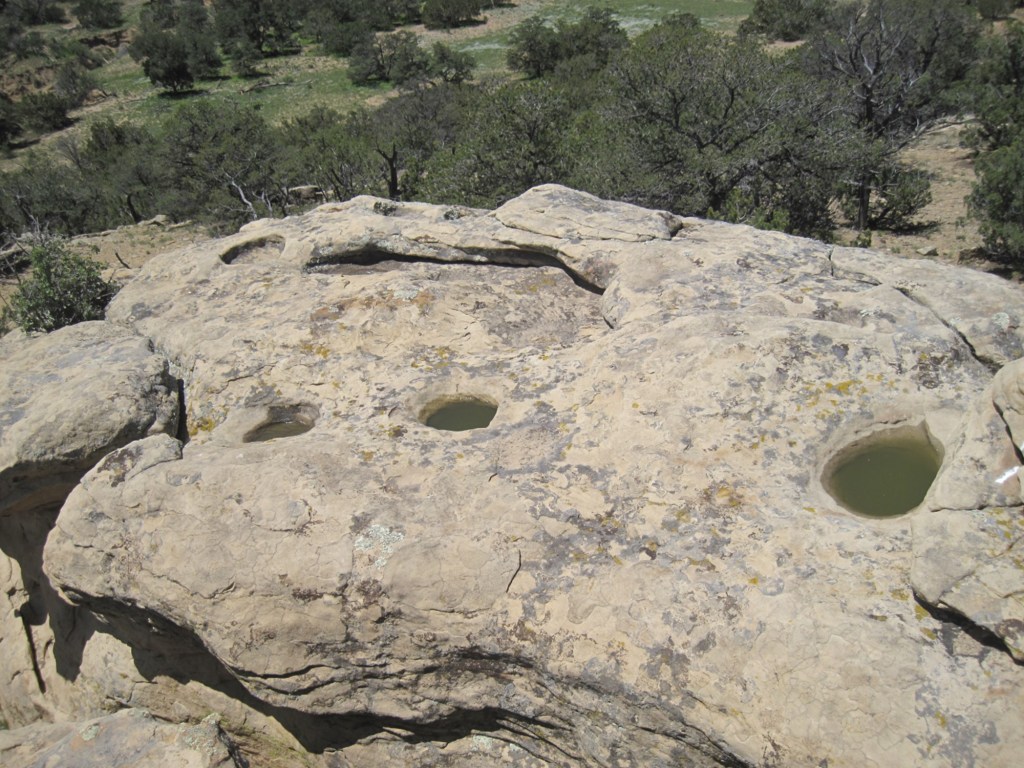
Collection of sandstone slabs with views open to the south, west, and north
This collection of stone slabs has a mix of very weathered grooves and aligned holes that point to both ancient pueblo locations and solar events (summer solstice, winter solstice, equinox) and other undetermined alignments.


Stone table with views that open to the west


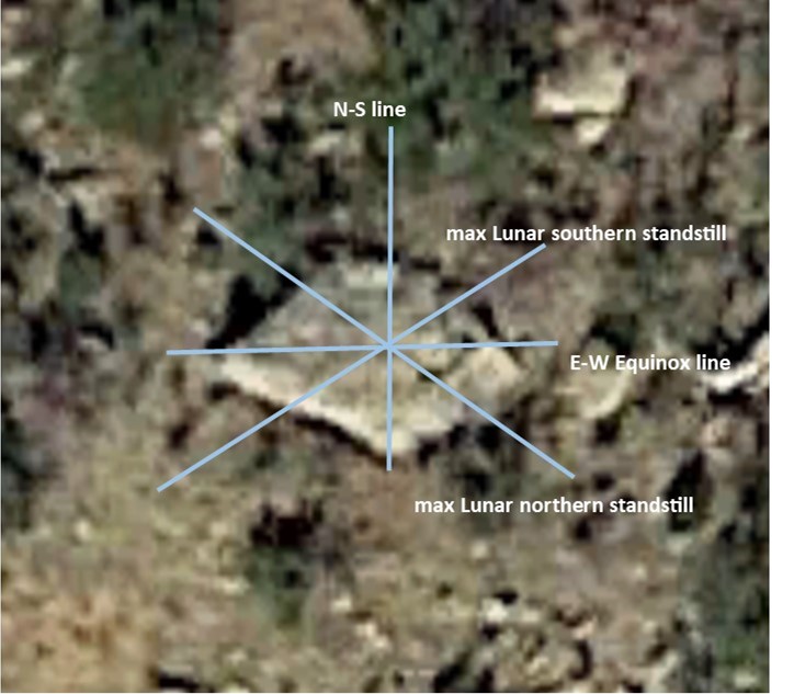
Hole alignments on flat stone tables sometimes are solar and lunar calendars (and unknown alignments). Below is a rock table with both solar (summer solstice, winter solstice, equinox) and lunar (northern and southern turning points) hole alignments with each calendar center point off set from each other. Often there are human or animal likenesses nearby.
Below is another solar and lunar calendar. Not obvious from the picture, but the equinox line points toward a distant butte.


This is an example of a shadow type solar marker associated with spirals.

An example of solar dagger markers follows. This calendar marks the dates February 18 and October 23 that are solar conjugates.
The Team found a petrograph pattern with 28 off set vertical lines and a set of 4 hole aligned close by. This petroglyph’s element collection suggests association with the periodic motion of the moon. This following video suggests how these elements could be used.

Leave a comment